
Colorado River in Marble Canyon. Digital Photograph. 9/18/2005. © 2005 Shawn Kielty. All rights reserved.
I believe this image include smoke from a nearby fire. The waters are now muddied from the entry of the muddy Little Colorado.


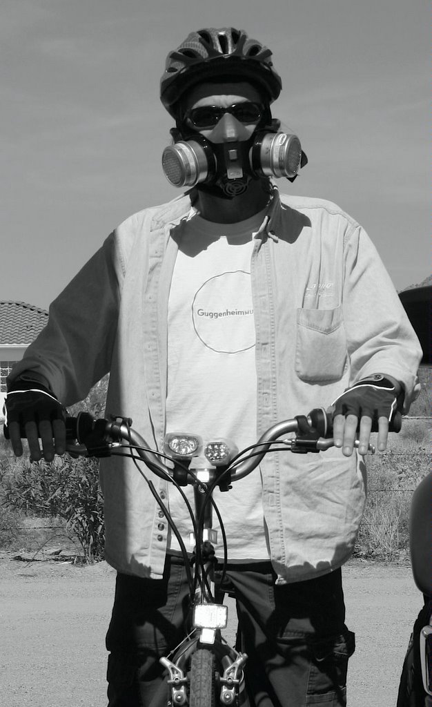
The next day was even better when Aaron's picture appeared in the Seattle PI as the one representation of the CH (Chilly Hilly -- my comment) ride. So not only was a Pirate representing the ride, but he's riding a tall bike and not wearing a helmet. Those Kaskaders had their lycra in a wad over that one. Go Aaron...let's all just ride bikes.


 |
 |


Meanwhile, Pearl the Cat is out the window trying to catch a cottontail. It's hysterical. It's all in the journey, kitty. Look for that quiet ecstasy. Discard your burdens.I've learned to recognize a particular moment on a backcountry trip. It's the moment when I can't remember what I'm doing there. It usually comes after some grueling slog, after the pack mysteriously gains weight against all rules of fairness and physics. Everything rubs against me-the shoulder harness, the salt of my sweat, the relentless weather, the earth against my feet.
It's like pushing through a membrane, that instant when misery transforms into surrender. Nothing becomes lighter, faster, easier. Now I can keep on, just for the power, the quiet ecstasy, of keeping on, discarding burdens as I go, growing lighter and lighter with every step, because this-this freedom, this moment, this willingness to trust myself in an untrustworthy world-this is the one thing I cannot do without.



Now 8.29 inches isn't really very much rain at all, especially considering that one day last year it rained between 3 and 5 inches in just a few hours here in Mesa. That means it really doesn't rain very often. According to this statement from the National Weather Service:The normal annual rainfall at Sky Harbor International Airport is 8.29 inches (211 mm). March is the wettest month of the year (1.07 inches or 27 mm). Rain is particularly scarce from April through June. Although thunderstorms occur on occasion during every month of the year, they are most common during the monsoon season from July to mid-September as humid air surges in from the Gulf of California. These can bring strong winds, large hail, or tornadoes. Winter storms moving inland from the Pacific Ocean occasionally produce significant rains but occur infrequently. Fog is observed from time to time during the winter months.
THE LAST TIME ANY RAINFALL WAS RECORDED AT PHOENIX SKY HARBOR AIRPORT WAS OCTOBER 18 OF 2005. THROUGH SUNDAY FEBRUARY 12TH...THAT IS 117 CONSECUTIVE DAYS WITHOUT MEASURABLE RAIN...0.01 INCHES OR MORE...OR EVEN A TRACE. THE PREVIOUS RECORD FOR SKY HARBOR WAS 101 CONSECUTIVE DAYS WHICH OCCURRED SEPTEMBER 23 1999 THROUGH JANUARY 1 2000.


Does a <pre> tag help.  Look, it does.  And in a most
attractive way, too.


This, I don't much care for. I am astonished that it is possible for a single person in an un-elected position to have the power to make this sort of decision. How is it possible that a Forest Service Supervisor can single handedly destroy a roadless area, by deciding that it is in the best interest of a balanced forest management plan. Because he never asked me I guess. Once they build the roads -- I guess they can take that area out of the inventoried roadless areas. That should make it a lot easier to run the bulldozers.Ketchikan, Alaska - Tongass National Forest Supervisor Forrest Cole recently signed the Emerald Bay Record of Decision, approving the harvest of approximately 16 million board feet of timber from 600 acres on the Cleveland Peninsula to provide nearly 90 jobs in Southeast Alaska. The proposed project area is located approximately 40 air miles north of Ketchikan within the Ketchikan-Misty Fiords Ranger District.
The Emerald Bay project includes the construction of approximately 6 miles of new low-impact road within the Cleveland Inventoried Roadless Area.


